

July 31st, Latest forecast
- iwmet service

- Jul 31, 2024
- 1 min read

Tonight
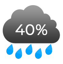
A fairly cloudy night in general with the risk of one or two showers moving through, perhaps even a thundery one, although any lightning would be infrequent (if any at all). Later in the night we should see a few clearer spells developing. Temperature 17-19°C Wind east 5-11mph becoming variable 0-4mph but north 3-6mph over coasts and hills
Rainfall 0-2mm with localised rainfall possible


Tomorrow
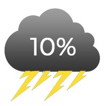
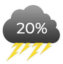
A generally fine start and becoming very warm with good sunny spells. As we move into the afternoon the cloud will develop to the north as some heavy showers and thunderstorms break out just across the Solent. There is some uncertainty on how close these thunderstorms will get to the island, with some data suggesting that they will stay just north of the Solent, whilst other data suggests that they may clip the northern part of the island as they are in their "dying" phase, which would mean a few weakening downpours with very little in the way of lightning. Later on in the afternoon/evening there is a hint that the dying showers to the north could trigger some short lived downpours to develop over the island but with considerable uncertainty. Temperature 27-29°C but feeling much cooler in the south and west at around 21°C Wind variable 0-3mph with sea breezes developing briefly before turning west-southwest 11-19mph during the afternoon Rainfall 0-5mm with highly localised rainfall possible


Comments