

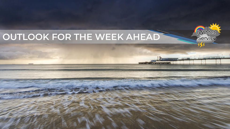
Outlook for the Week Ahead - Unsettled with very little in the way of sunshine, although plenty of rain moving through at times!
- iwmet service

- Oct 13, 2024
- 2 min read
TONIGHT
Cloud gradually thickening up with rain arriving around midnight, becoming heavy at times during the early hours. Low cloud and hill fog developing Temperature 9-11°C at first but closer to 15-16°C by the end of the night Wind east-southeast 7-15mph becoming 9-18mph before turning south by dawn Rainfall 8-12mm with locally variable amounts


TOMORROW
Rain at first but this will become patchy and more drizzly with low cloud and hill fog for a time. By late morning and into the afternoon we should begin to see the patchy rain moving away, but remaining mostly cloudy and still with the odd patch of light rain and drizzle around. Temperature 15-16°C at first but falling closer to 12-13°C during the afternoon Wind southwest 10-19mph becoming west then north-northeast 4-9mph during the afternoon Rainfall 1-3mm


TUESDAY
A fairly cloudy but mild and humid day with low cloud, hill fog and perhaps even some fog on windward coasts at times. A few patches of drizzle are also possible but no real risk of any significant rainfall through the daytime, although towards evening we begin to see the risk of some heavy spells of rain pushing up from the south. Moderate breezes throughout.


WEDNESDAY
Mild and humid with further spells of rain at times, perhaps heavy and maybe even thundery locally. The wind will continue only moderate and mostly from the south or southeast.


THURSDAY
Another cloudy day with spells of rain likely at times, although rather uncertain on how much is likely to fall. It will still be fairly mild and humid but with increasing winds from the west.

FRIDAY
The mild, humid and unsettled weather looks likely to continue with further spells of rain at times. It will be breezy with winds likely from the southwest.


Comments