

WEATHER FOR THE WEEK AHEAD


TOMORROW
A fine and pleasantly warm day across the island, with a mixture of sunny spells and areas of high cloud making the sunshine rather hazy at times. Some medium-level cloud may also move through occasionally, but overall it will remain fine with pleasant temperatures.
Temperature: 22–23°C, warmest across northern, central and western parts, and coolest in the south and east.
Wind: East to northeast 15–25 mph, becoming easterly and increasing to 23–38 mph during the afternoon
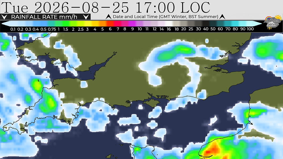
TUESDAY
A fair amount of cloud around through the day, with the risk of the odd shower here and there, especially later in the day and towards the evening.
Temperature: 20–22°C
Wind: Moderate east to north-easterly breeze

WEDNESDAY
Wednesday will start with a mixture of cloud and perhaps one or two showers. These should gradually fizzle away, allowing some decent sunny spells to develop. It will feel pleasantly warm and quite humid through the day. Towards the evening, there will be an increasing risk of showers once again, and these could become locally heavy and perhaps thundery, especially as we head into the night.
Temperature: 22–25°C, warmest across central and northern parts of the island.
Wind: Light south-westerly at first, becoming moderate during the afternoon then becoming moderate easterly later

THURSDAY
Heavy and perhaps thundery showers early in the morning, clearing for a time and allowing some bright or sunny spells to develop. However, as we move through the afternoon and especially into the evening, the risk of showers will increase once again. These may become locally heavy and perhaps thundery.
Temperature: 20–22°C
Wind: Moderate south-westerly breeze

FRIDAY
Further showers are likely through Friday, and these could well be heavy and locally thundery, especially at first and again later in the day.
Temperature: 18–20°C
Wind: Moderate south-westerly


Comments